Monday to Friday | 7am to 9pm
Saturday & Sunday | 8am to 5pm
YMCA Sports and Community Centre, Princes Road, Redhill, RH1 6JJ
Find us on Google maps
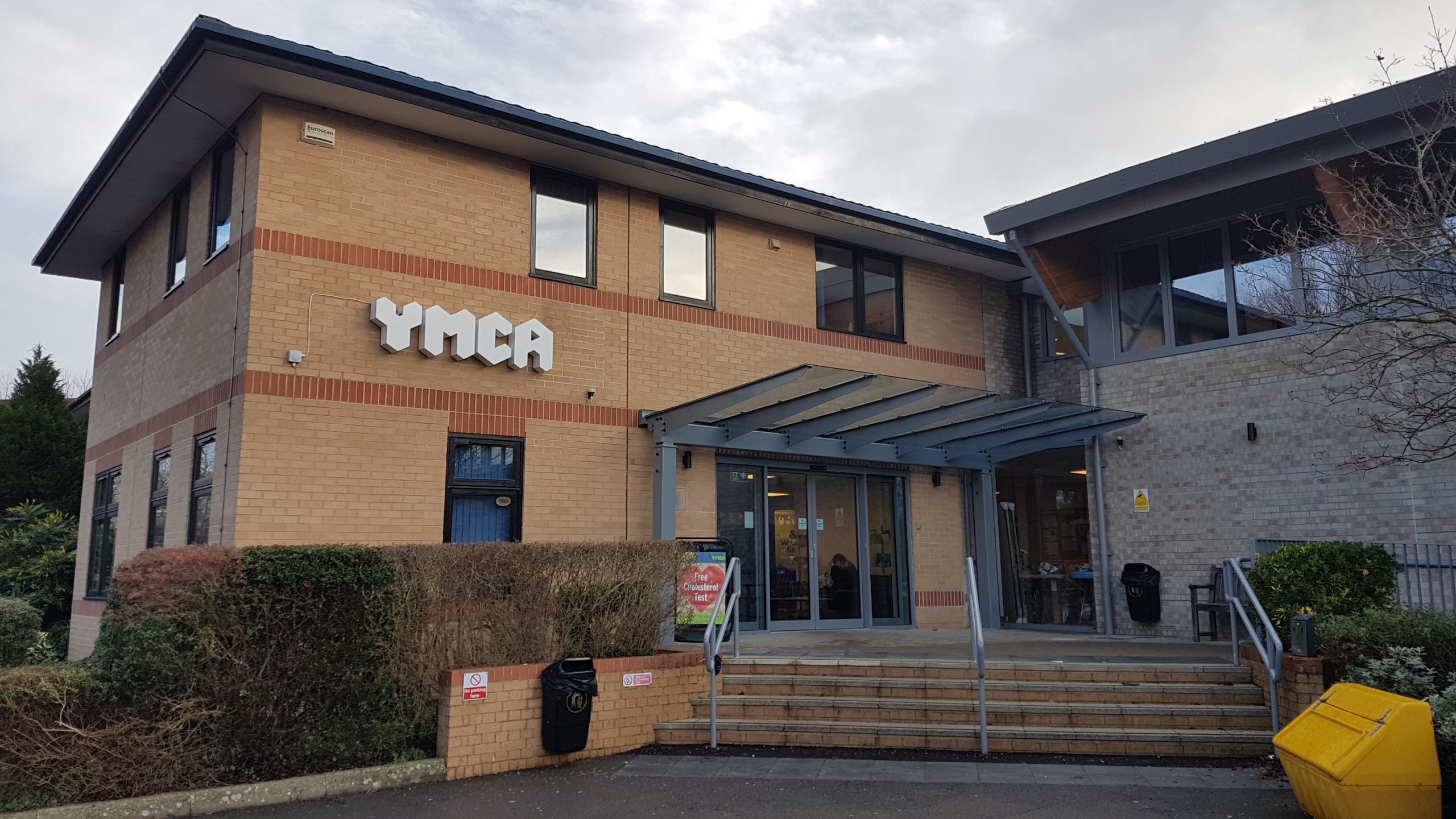
The YMCA Sports and Community Centre in Redhill has something for everyone to enjoy, from our well-equipped gym, to our range of fitness classes and community sports. Our Inclusive Sports Facility allows us to offer a comprehensive programme of disability sports and physical activities for people with long-term ill health.
Monday to Friday | 7am to 9pm
Saturday & Sunday | 8am to 5pm
YMCA Sports and Community Centre, Princes Road, Redhill, RH1 6JJ
Find us on Google maps

Close
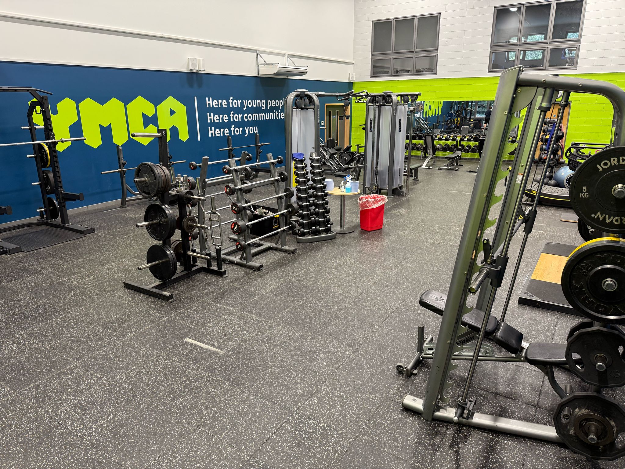
Our air-conditioned and fully staffed fitness gym in Redhill offers a wide range of the latest equipment designed to improve your fitness and a wide variety of fitness classes.
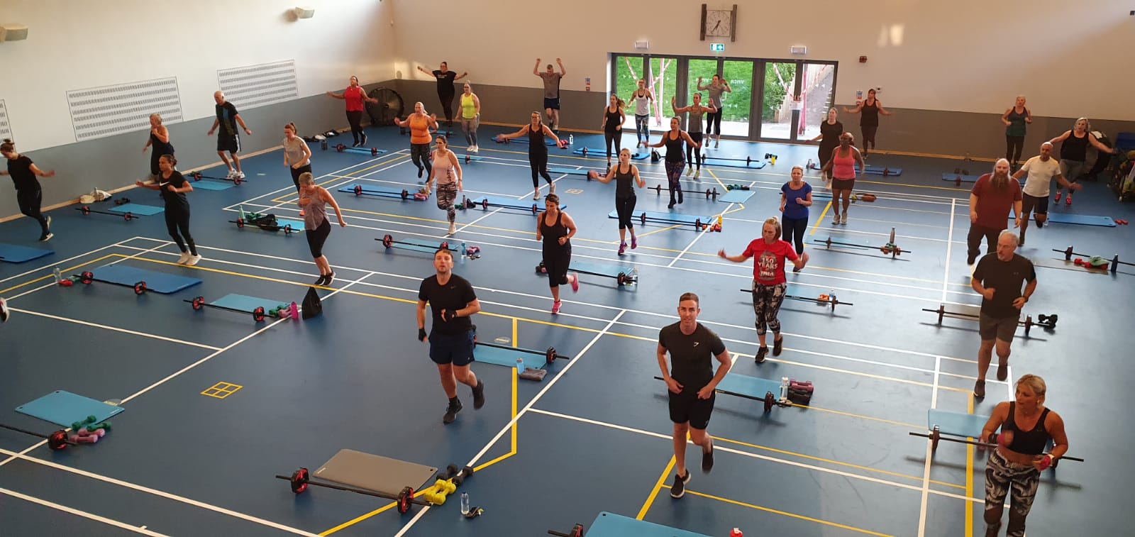
Whether you want to keep fit, lose weight, tone up or have fun – we have a fitness class to suit all levels and abilities.
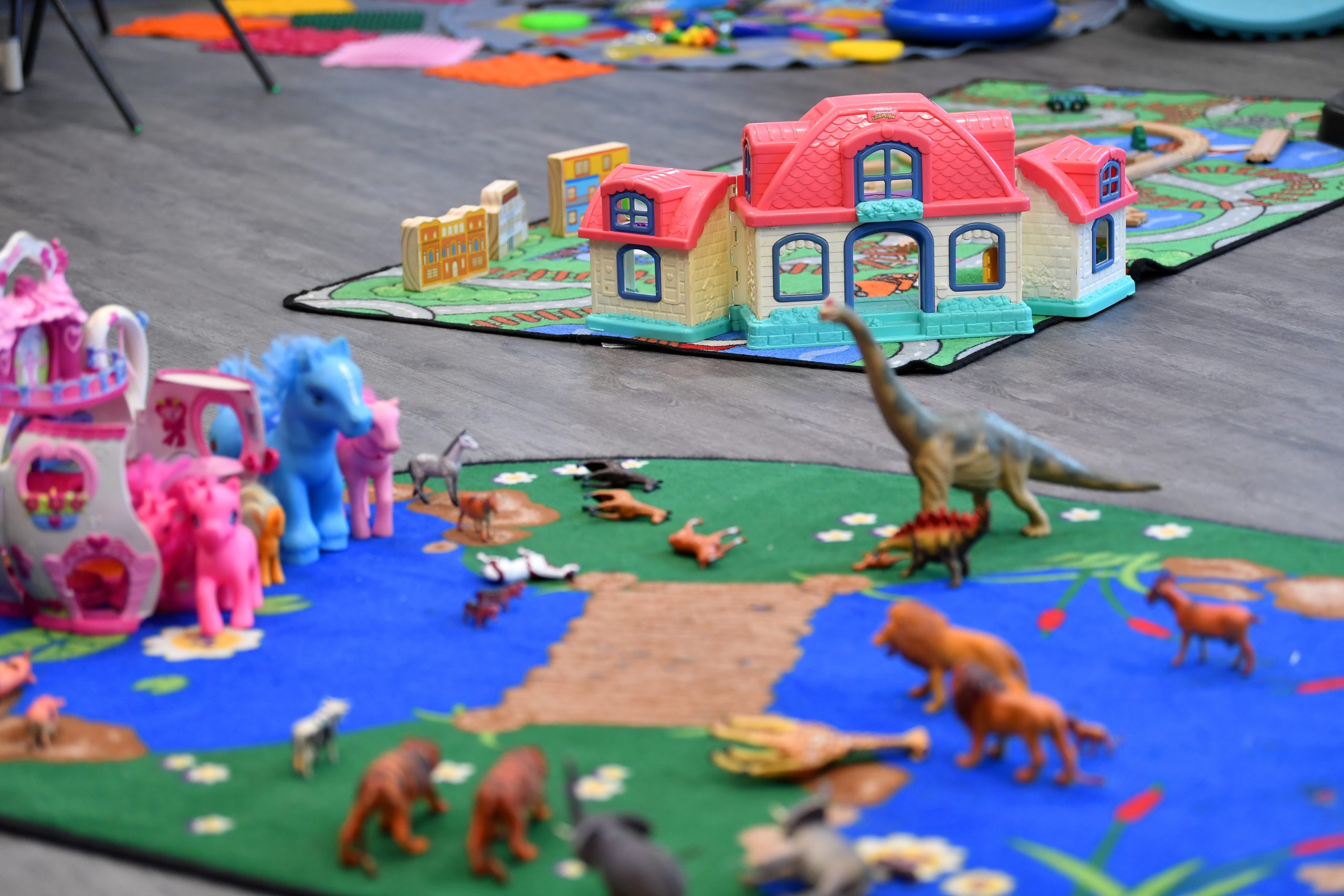
Enjoy a workout in our gym or take part in one of our morning fitness classes while your children are cared for in our Y-Tots Crèche (age 3 months up to 5 years).
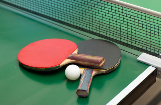
We offer a range of sports and community activities for adults, including badminton, adult football, table tennis, and walking football.
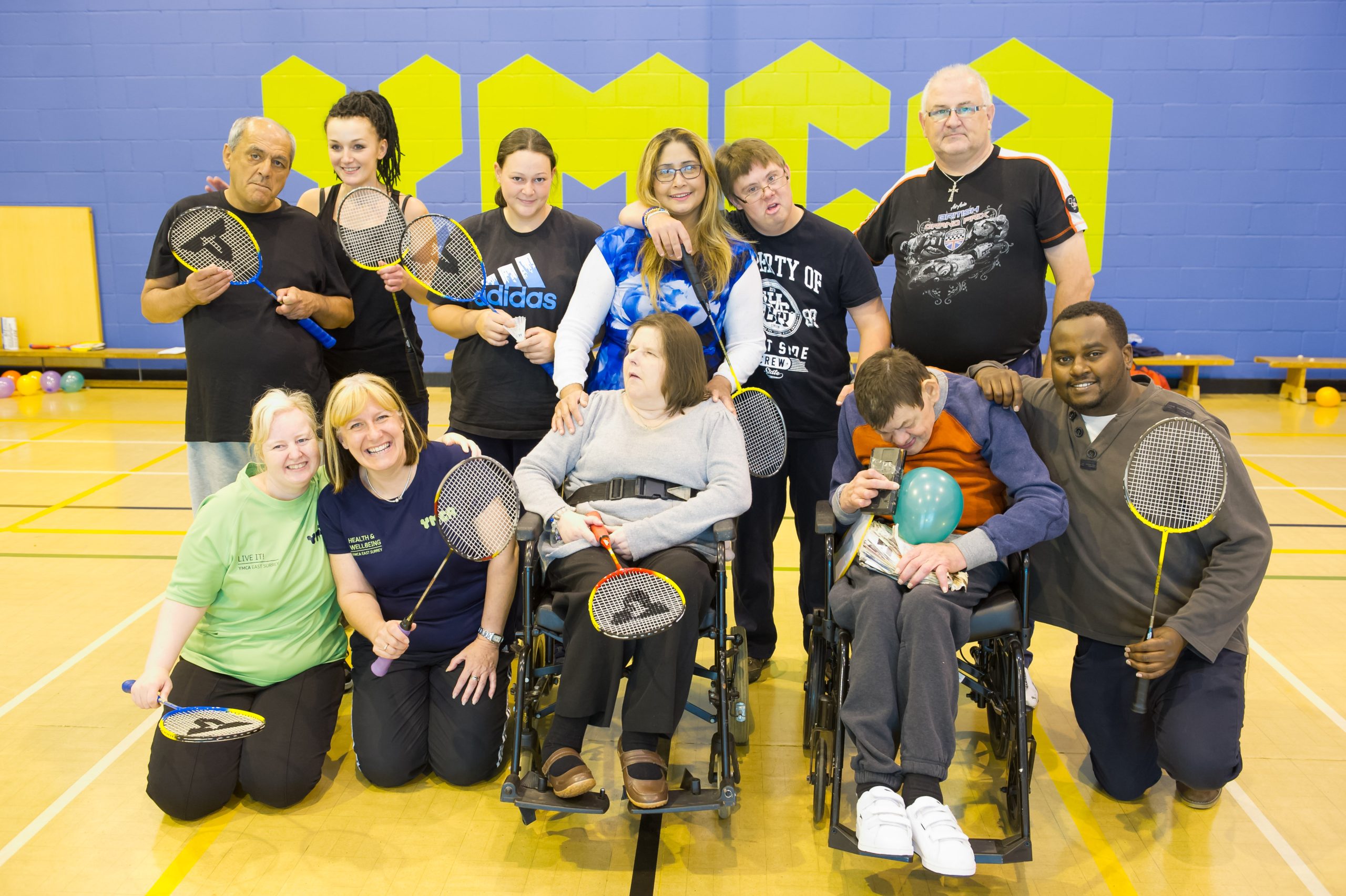
We offer a range of disability sports and activities including boccia, inclusive trampolining, dance, multi-sports etc.
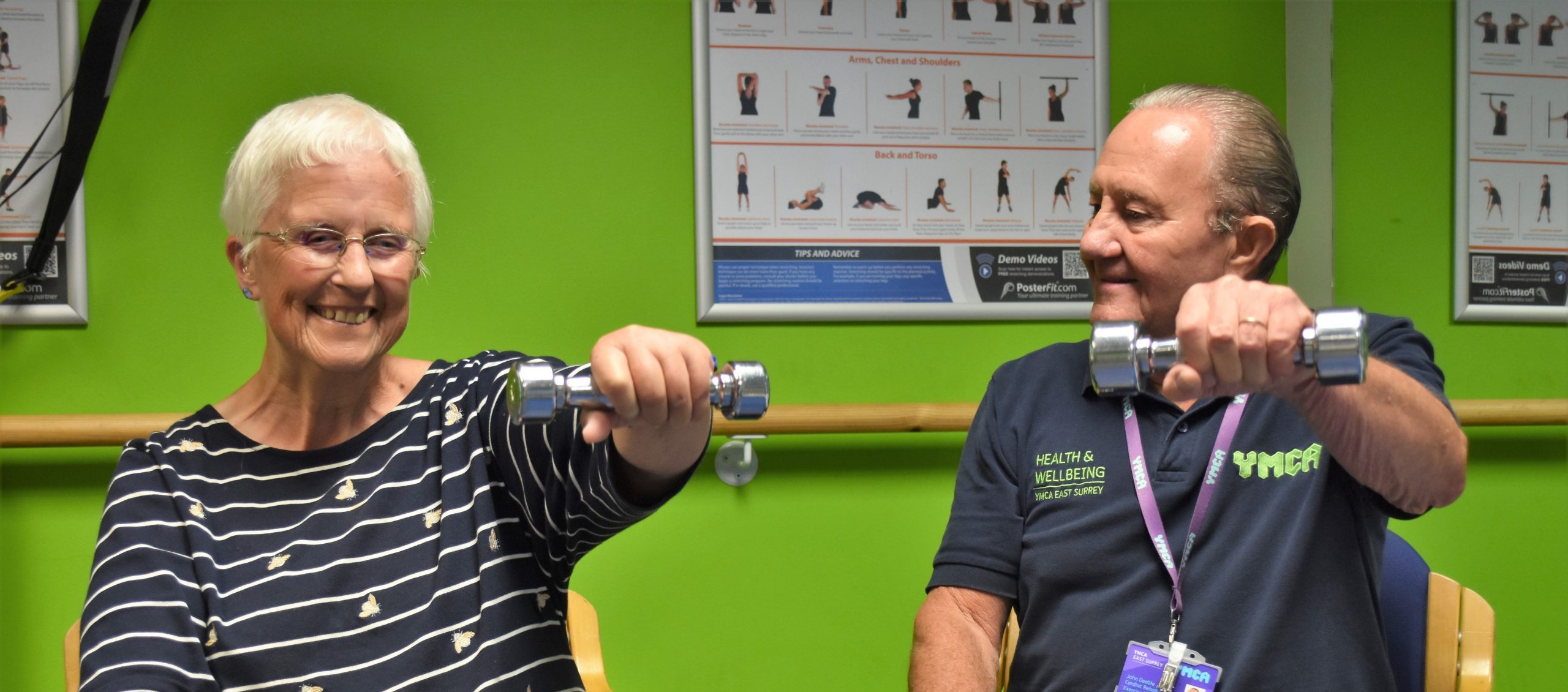
Our Exercise Referral programme supports people with health conditions, disabilities, or those recovering from injury to embrace physical activity and achieve a healthier, more independent lifestyle.
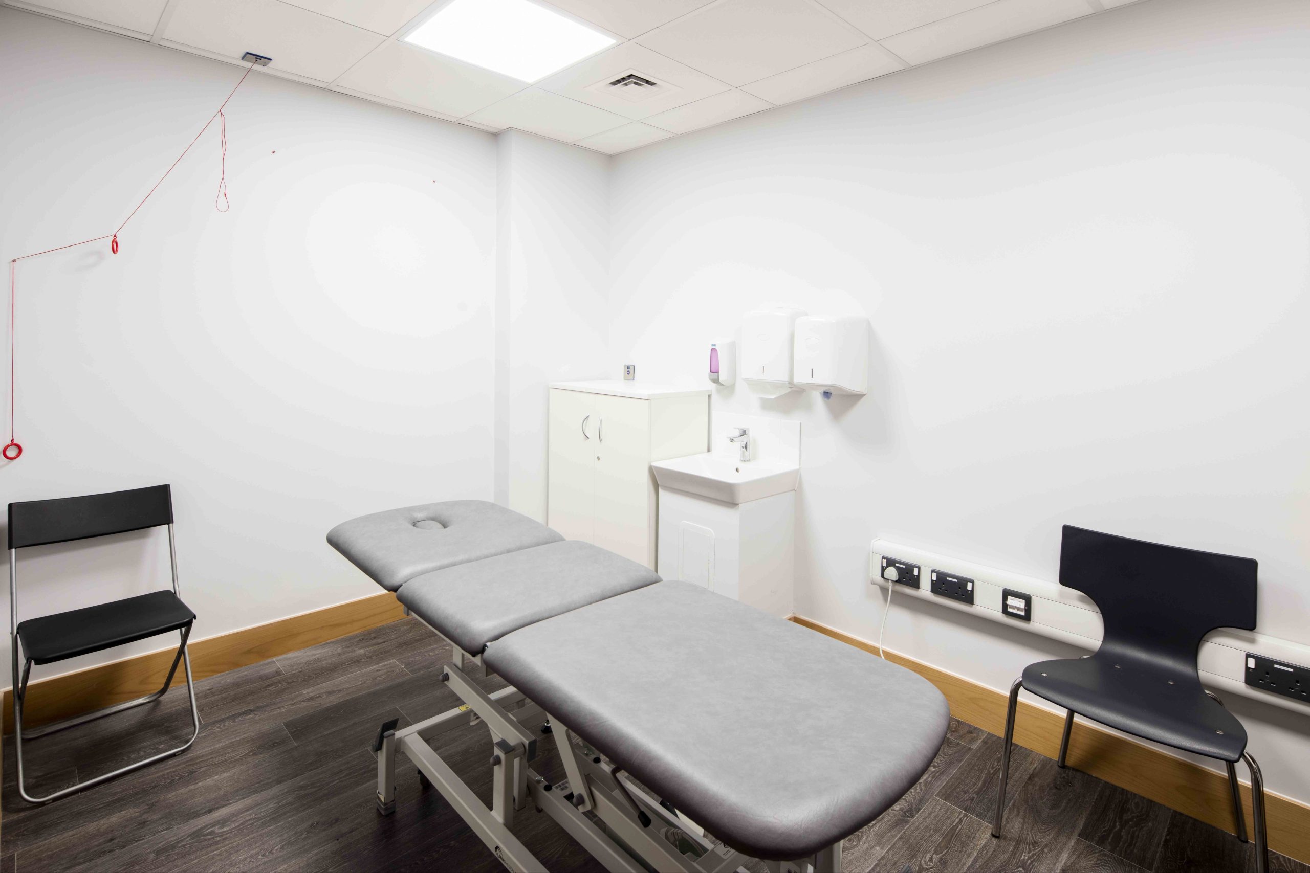
Our therapy room offers both sports physiotherapy and massage to help relieve aches and pains and leave you feeling invigorated. Bookings must be made in advance.
After School Club at YMCA Sports & Community Centre in Redhill. Collection from Federation of Earlswood Schools, Hatchlands School & St Joseph’s, Redhill
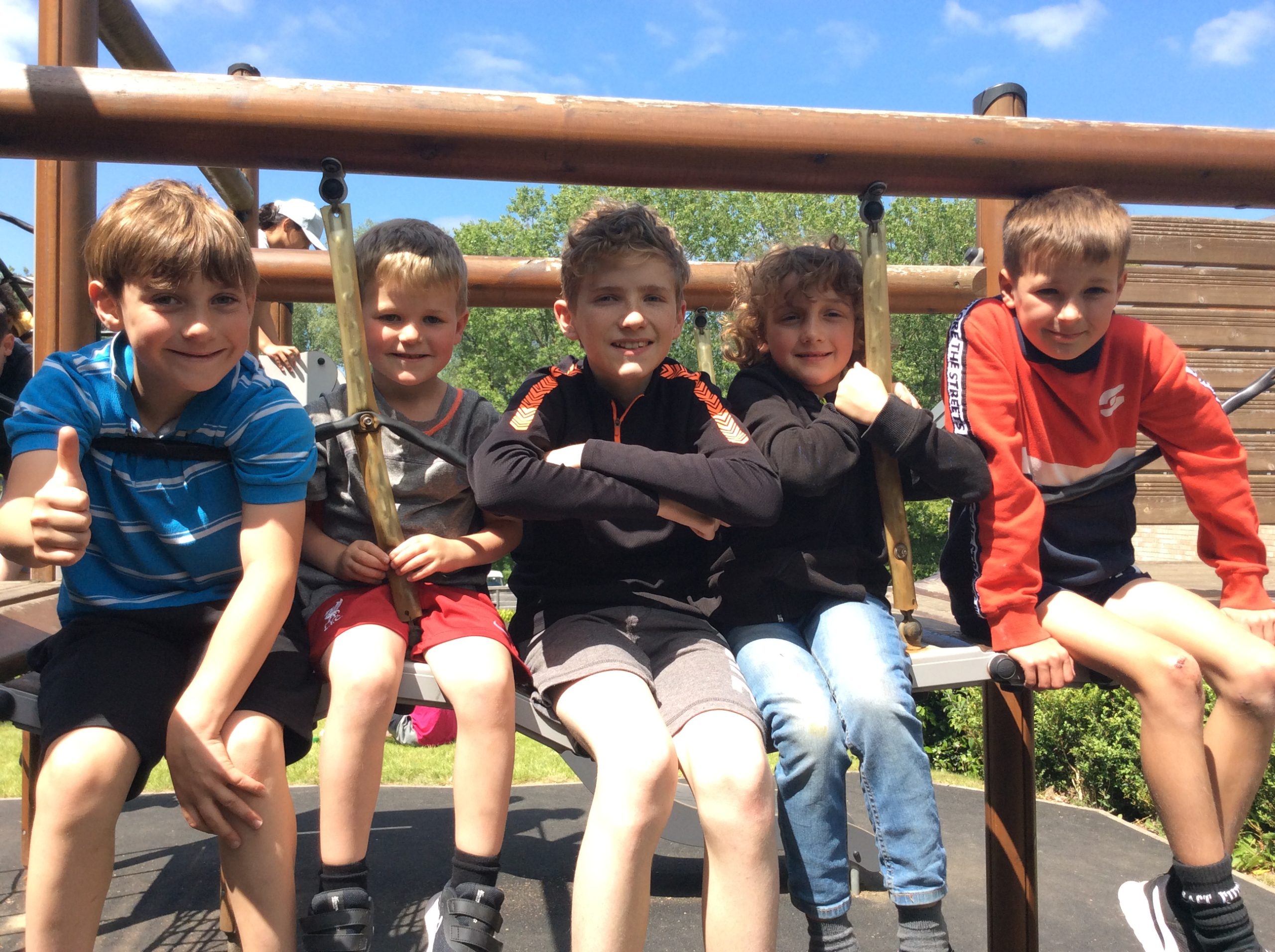
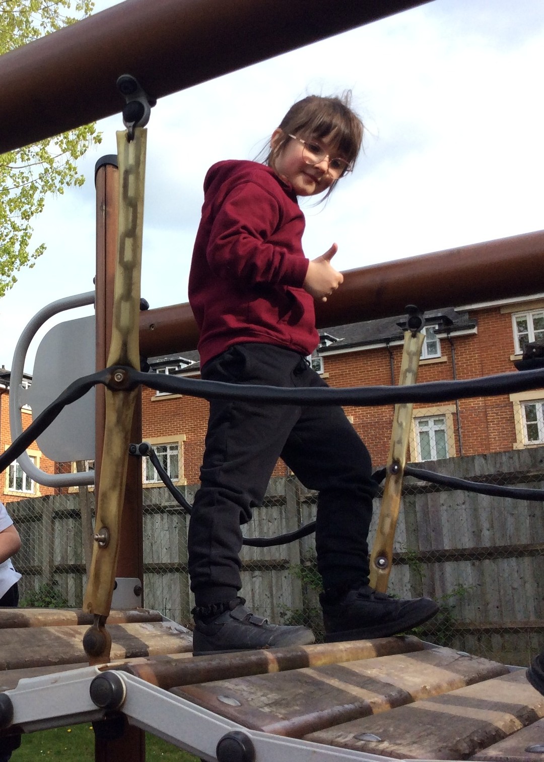
Our Y-Kids Holiday Clubs are open to children aged 4*–12 years and offer a range of fun activities including sports, crafts and games.
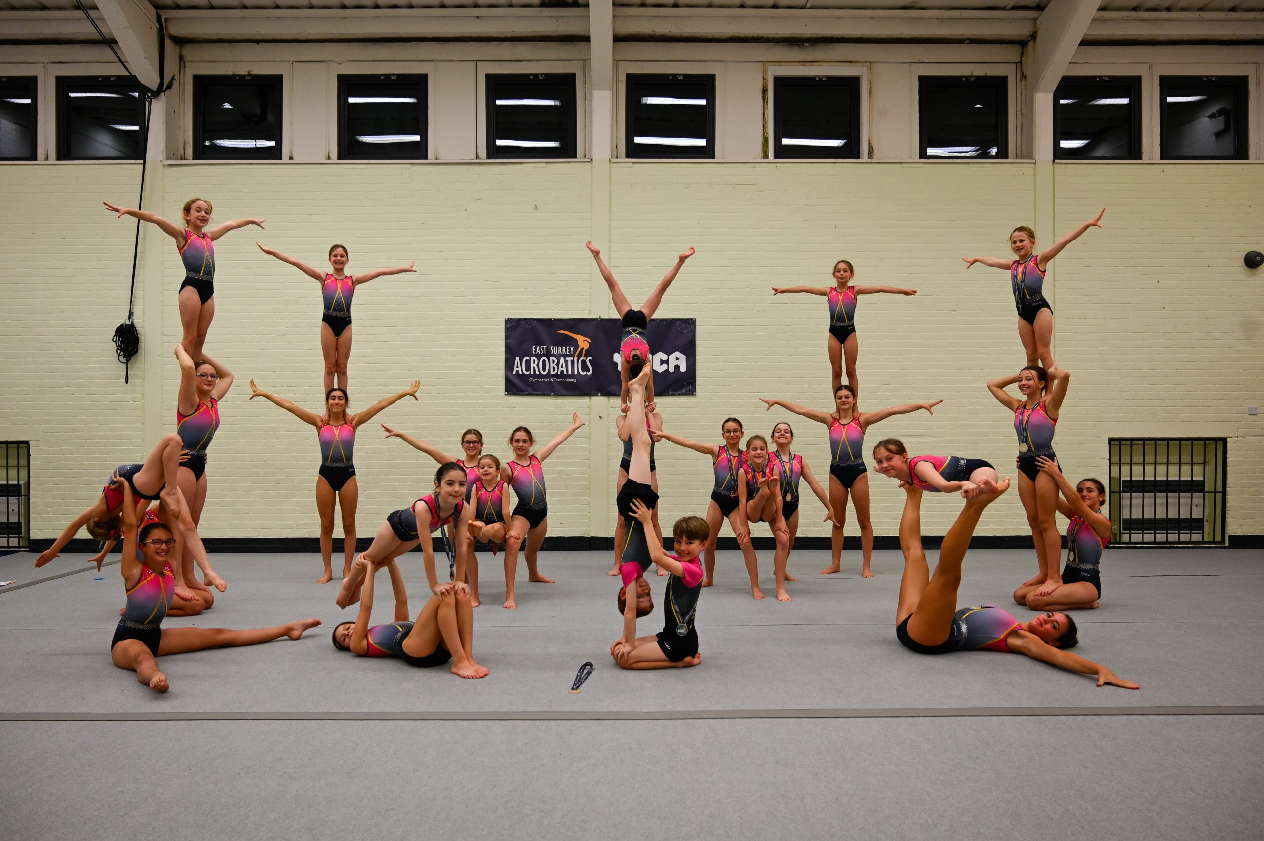
Our gymnastics and trampolining courses are run by East Surrey Acrobatics.
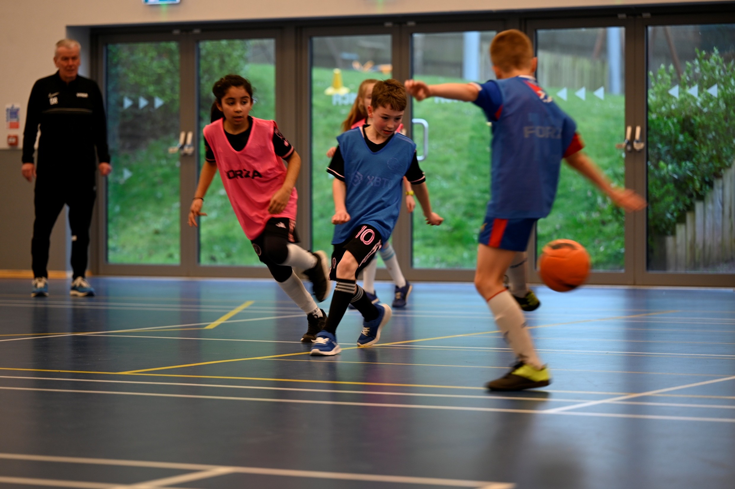
We offer a range of football sessions from fun mixed and girls only sessions through to competitive girls football teams.
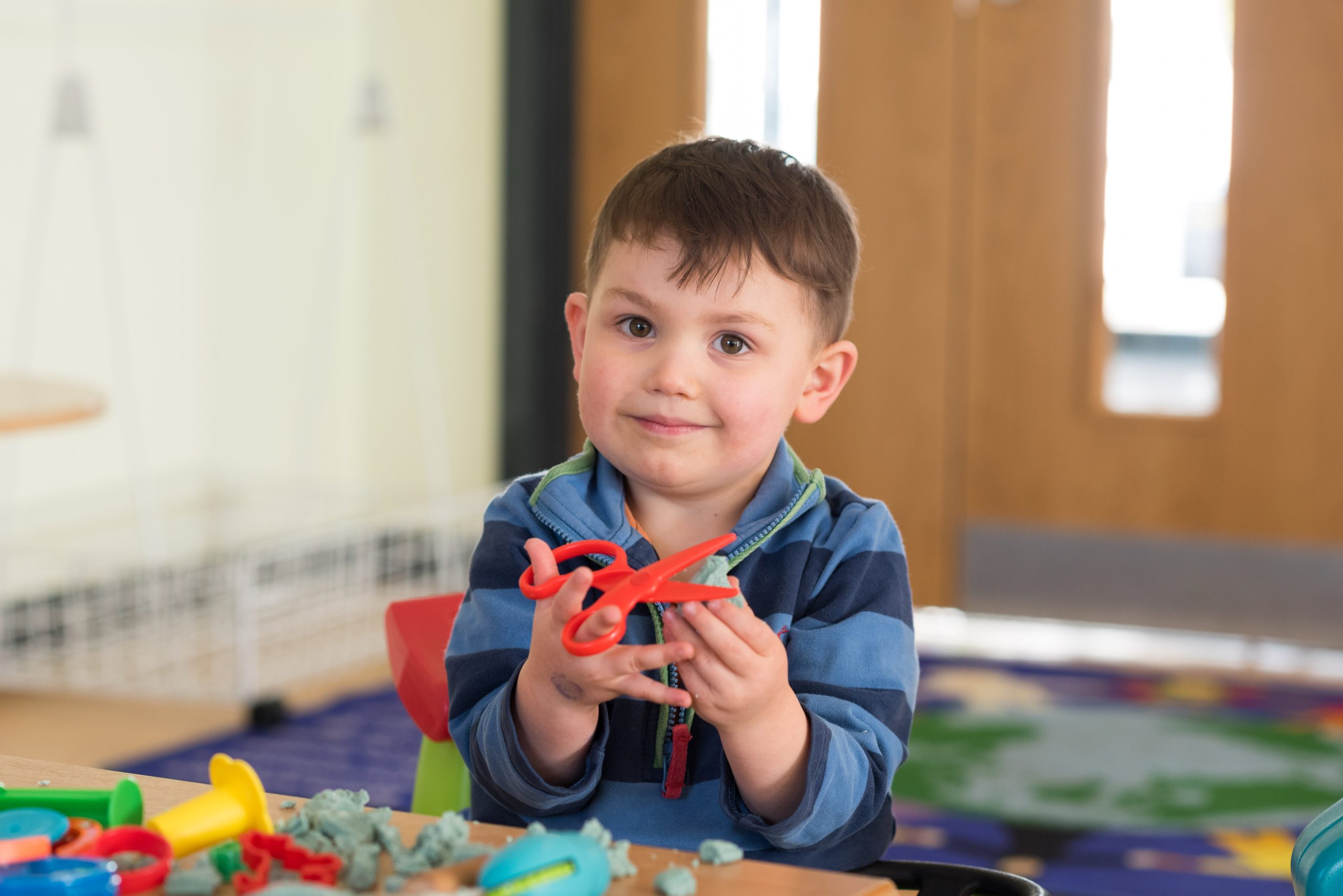
Keep your little one active and busy with our sessions for babies, toddlers and pre-schoolers.
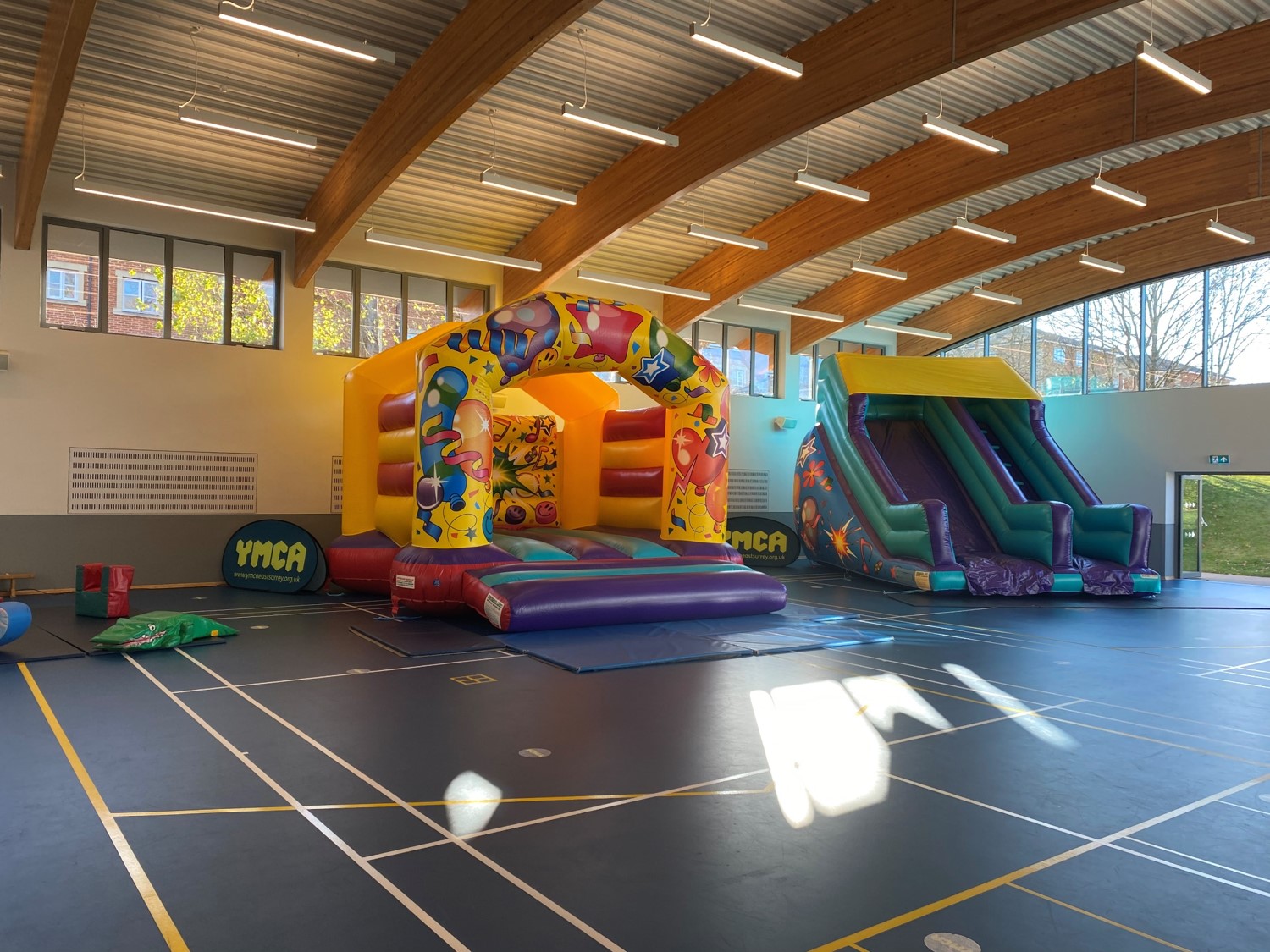
At the YMCA, we know how to throw a good party! Filled with fun, games and laughter, our range of party options led by our YMCA party playworkers will ensure children have a great time!
By car
Turn in to Woodlands Road from the A23, and then turn left down St John’s Road. Turn right down Earlsbrook Road and turn right again into Princes Road (you will see a big YMCA sign on your right hand side). Follow Princes Road for 0.2 miles up to the gates of Royal Earlswood Park estate and turn left (still Princes Road). Follow the road round to reach the centre. Free parking is available onsite.
Please note that Princes Road is a private, residential road and has a speed limit of 15mph. Please ensure you drive considerately when approaching and leaving our centre.

Close
T 01737 779979
Textphone users add prefix 18001 to access BT Text Relay
Gym and fitness reception@ymcaeastsurrey.org.uk
After school, holiday club & children’s activities children@ymcaeastsurrey.org.uk
Challenge events challenge@ymcaeastsurrey.org.uk
General queries admin@ymcaeastsurrey.org.uk
YMCA Sports & Community Centre, Princes Road, Redhill, RH1 6JJ